Project Monitoring and Commissioning

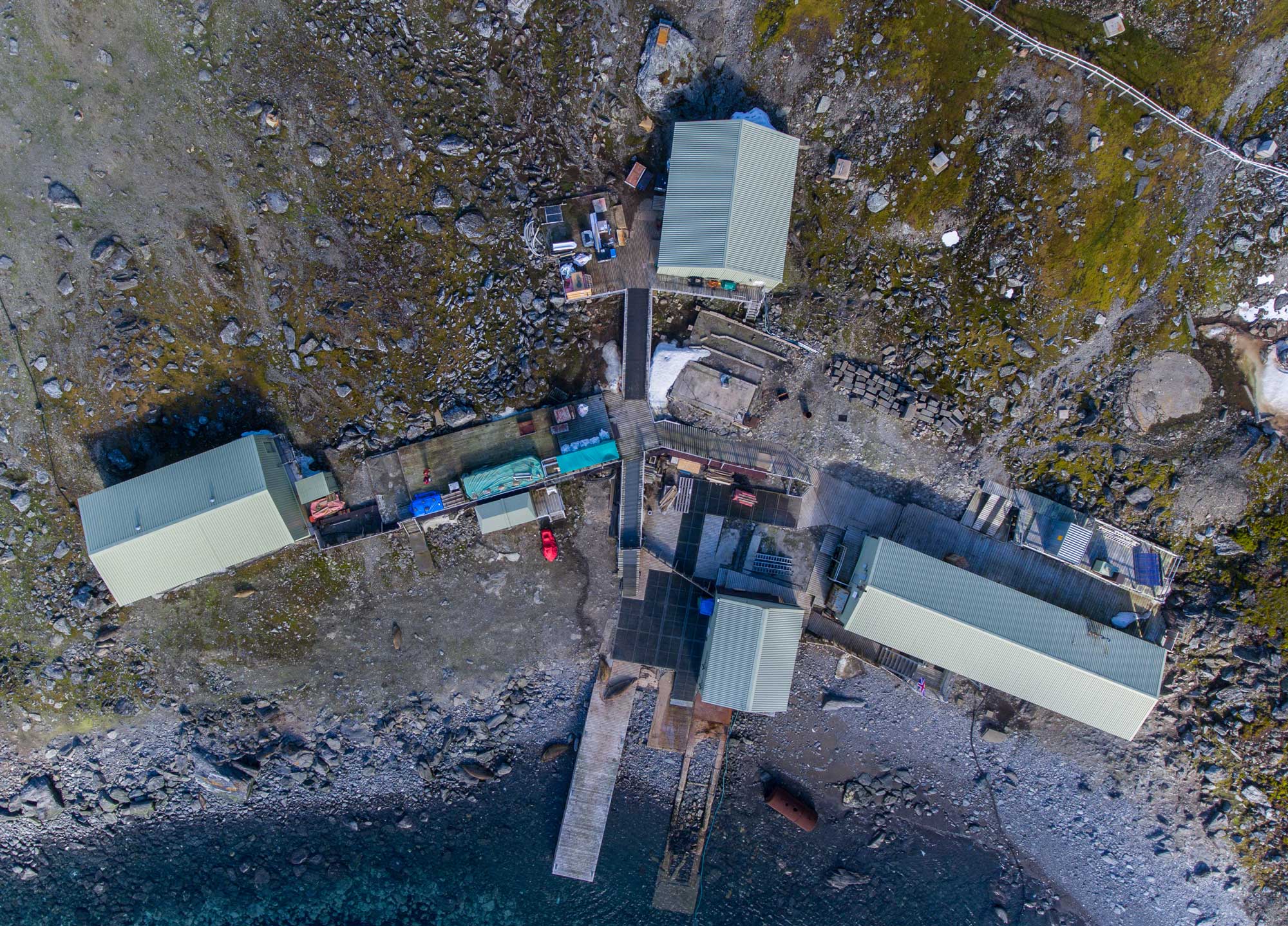
Aerial imaging and mapping with drones provide a cost-effective and accurate way of monitoring change. Whether it be habitat for a sensitive species, a construction site or the impacts of human use, the use of repeat photography from drone data can create important records through time.
- Change monitoring
- Planning
- Environmental Impact Assessment project monitoring: before/after imagery
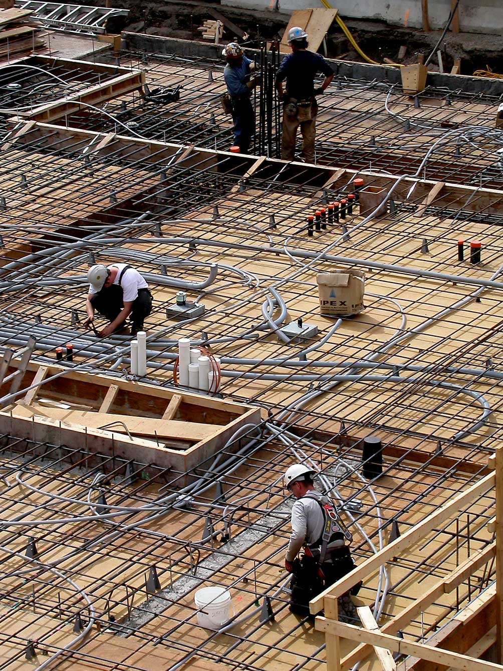
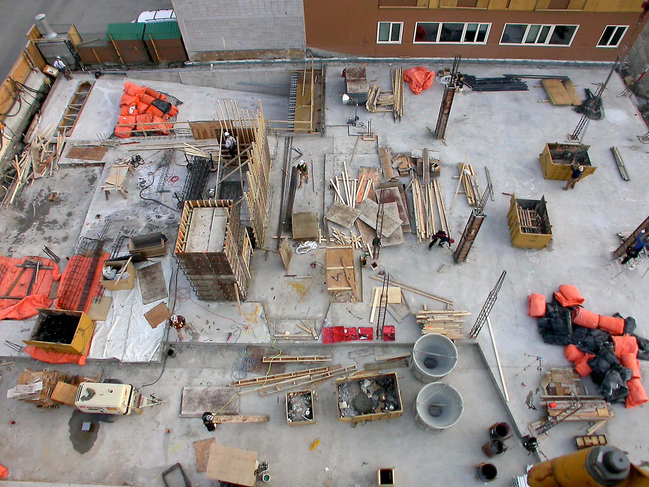
- Construction progress tracking; through daily, weekly or monthly documentation.
- Inventory of assets on site and date/temporal changes/tracking of material deliveries and resources on the ground; natural features and vegetation changes.


