Aerial Photography & Video
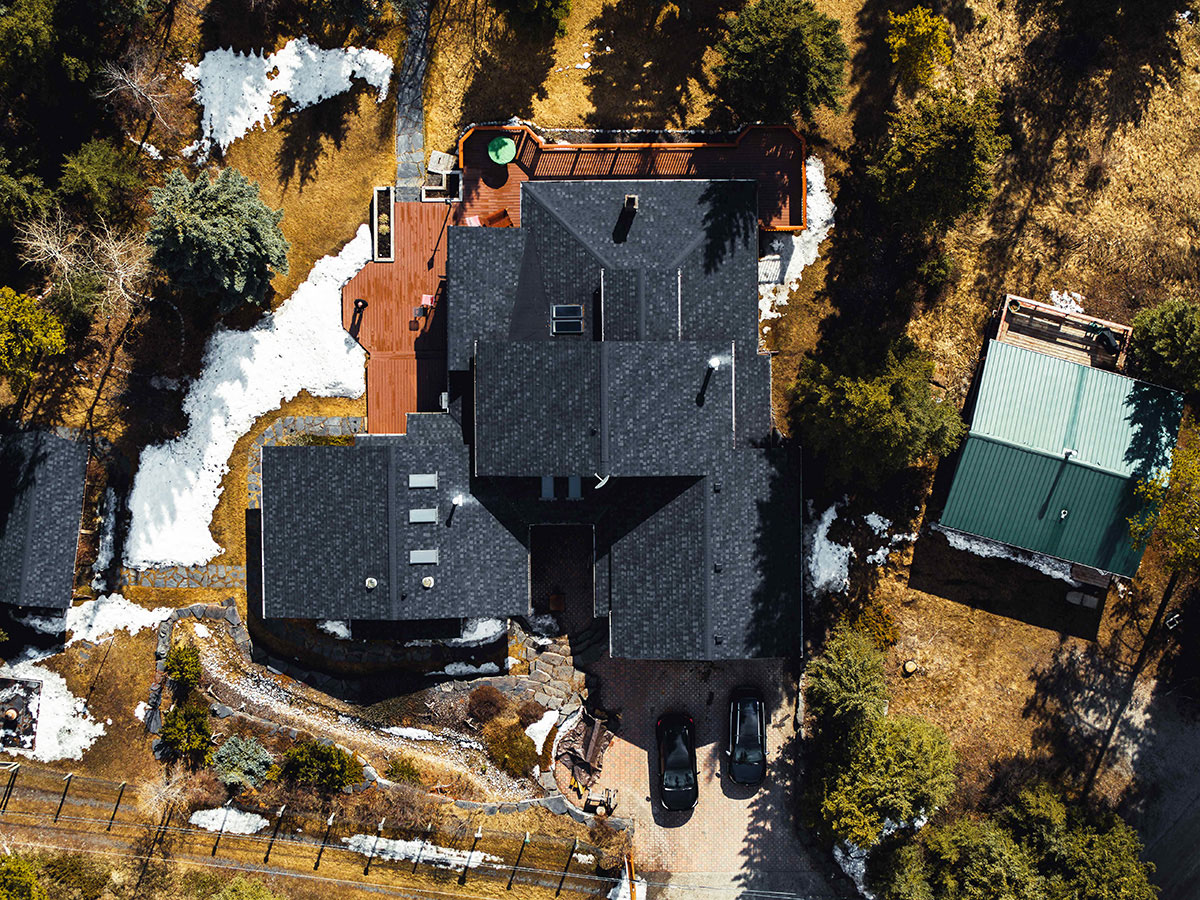
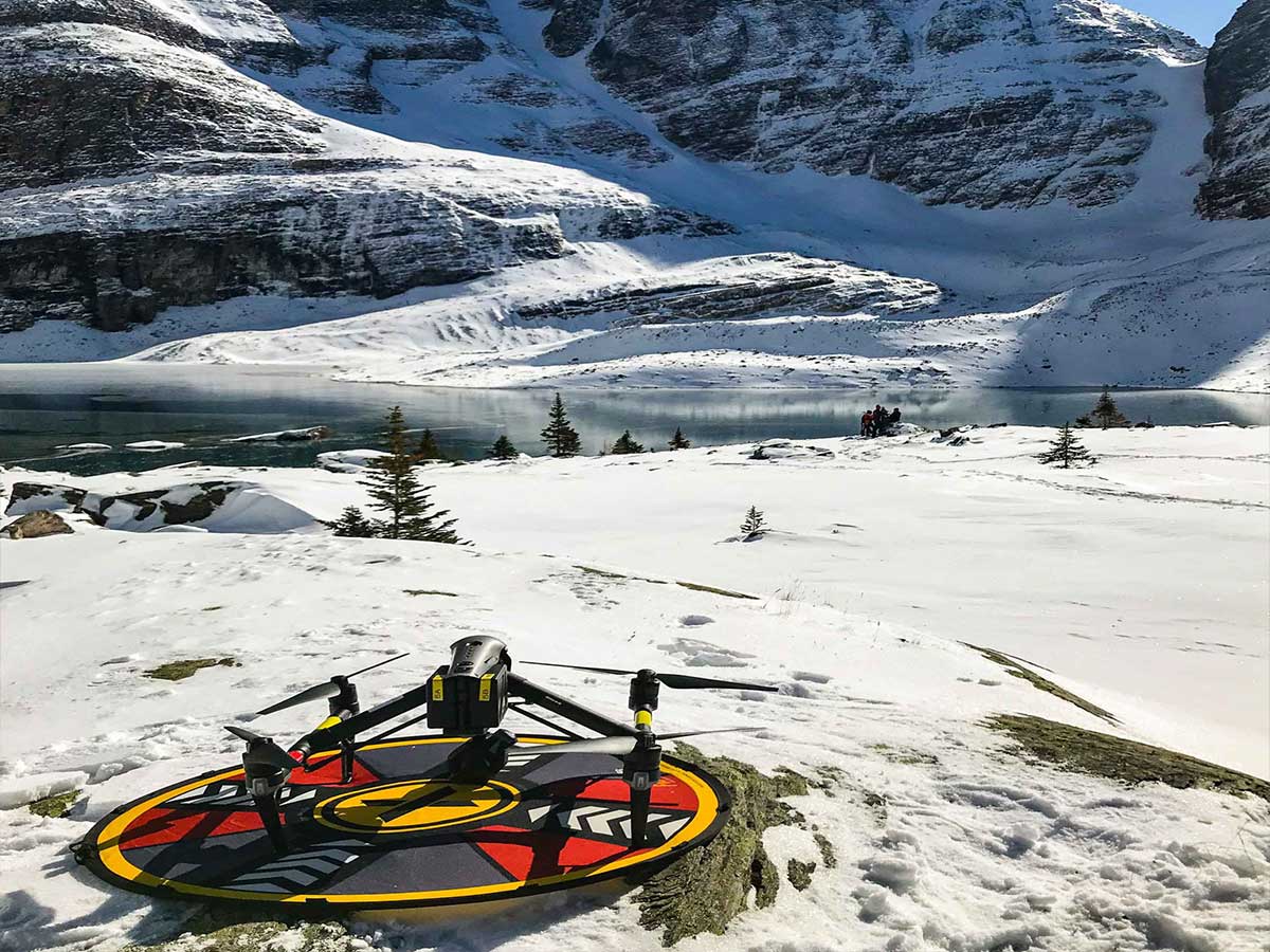
Images speak louder than words. And there is nothing like the dramatic shots and reveals that drone photos and video can provide. Whether the purpose is to sell the family home, monitor environmental change, map out the before/after details of a new project, drone images and mapping techniques provide a unique view and one-of-a-kind documentation. The same aerial views offer a special way to document heritage buildings, architectural features or cultural and historic sites. Seeing a site from the air is a perspective that that can be critical to important decision-making. Talk to us about your project and how drone services can support you.
- Property mapping
- Real Estate photography
- Documentation of historical and cultural sites and heritage buildings
- Community development, Fire Smart and land use planning
- Recreational area planning and development (ski hills, parks, trails, etc.)

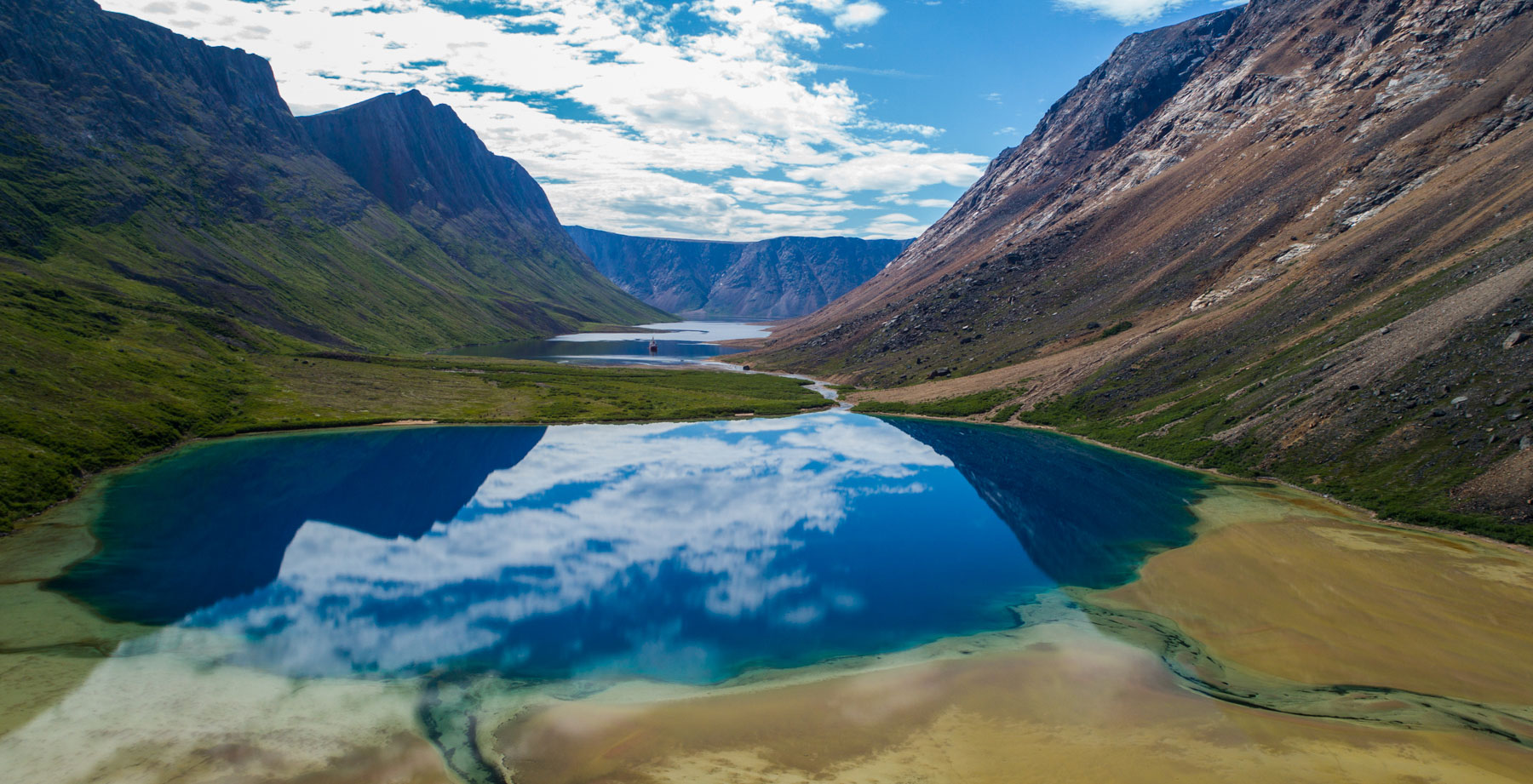
Canada C3 ship in the North Arm of Saglek Fjord, Torngat Mountains National Park, Labrador, Canada.


