Environmental Management & Scientific Research


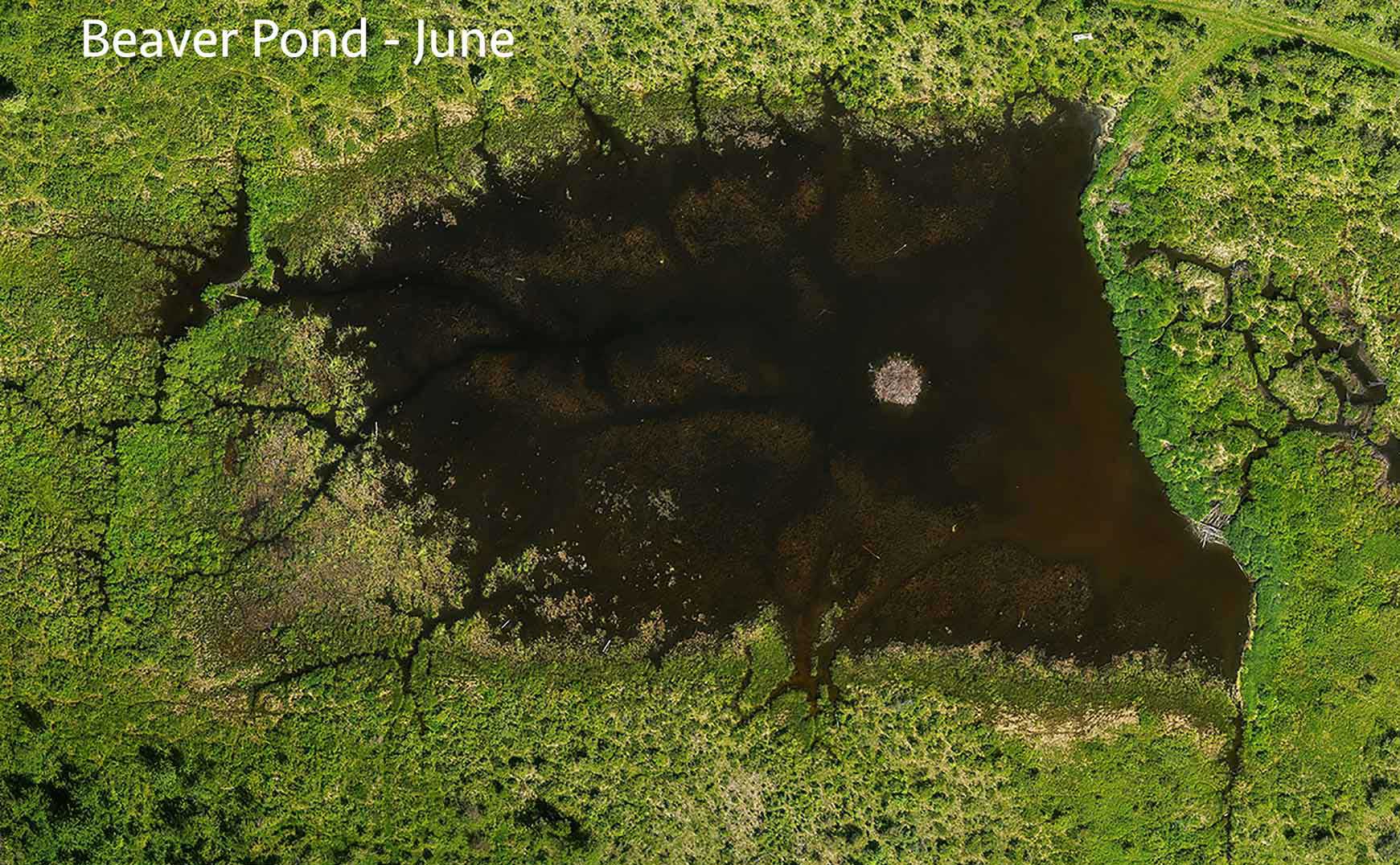
Drone images and mapping tools provide powerful means for monitoring diverse environments and their changes; from coastlines, archeological sites and glaciers, to forests and pasture lands. Our drone services can support a wide range of science and research. We have drone mapped shipwreck artefacts on Arctic beaches and penguin colonies in Antarctica. The applications of drone images and mapping for all areas of science and research are unlimited. Drone data strengthens research design and results, and creates value-added research products. Our tools can also support science communication, making your research more visual and understandable with a greater impact with a wider audience.
- Environmental monitoring
- Aquatic habitat restoration
- Habitat mapping
- Wildlife monitoring
- Conservation planning
- Reclamation (before/after mapping)
- Cultural & archaeological site mapping
- Land and marine resource mapping

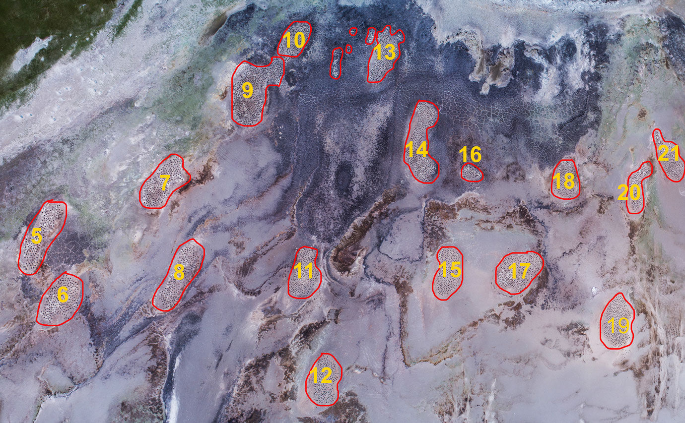
Gentoo Penguin colonies, Saunders Island, Falkland Islands

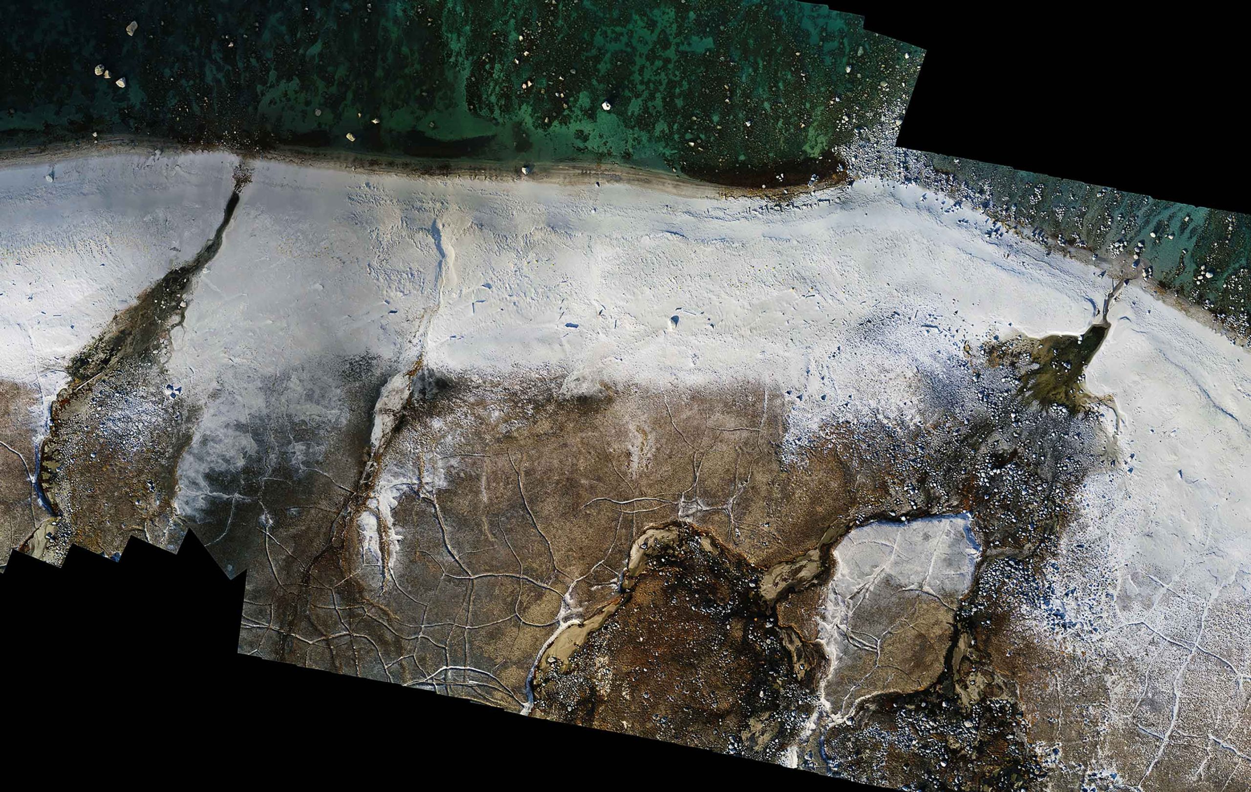
Beach map near the wreck of the Nova Zembla (1903), Panniqtuuq Baffin Island
