Aerial Inspections
Get high up and close up with a drone for inspections, and avoid putting people at risk. Drones have been proven to lower inspection costs and increase inspection accuracy, efficiency and safety. Think of roofs, towers, building facades, bridges, large rooms and deep pits. A drone with a high-resolution camera can be deployed into spaces and near tall structures that otherwise are costly, time consuming and potentially dangerous for human workers to access. The drone image data obtained from an aerial inspection is often more accurate than that obtained through traditional means. And a permanent visual record is created. Our aerial inspection services can provide detailed image data to create cost-efficient inspections and reporting for a wide range of hard to reach
applications, such as:
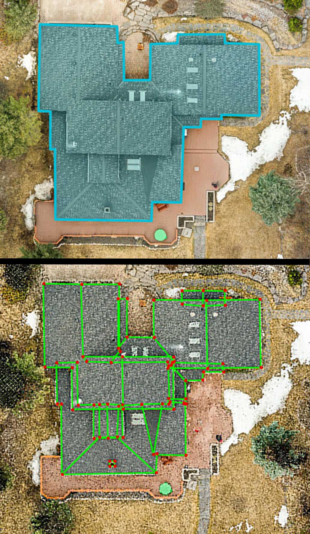
- Roofs, skylights, windows and facades
- Bridges
- Solar Panel Installations (with FLIR payload)
- Plants, Factories and Mills
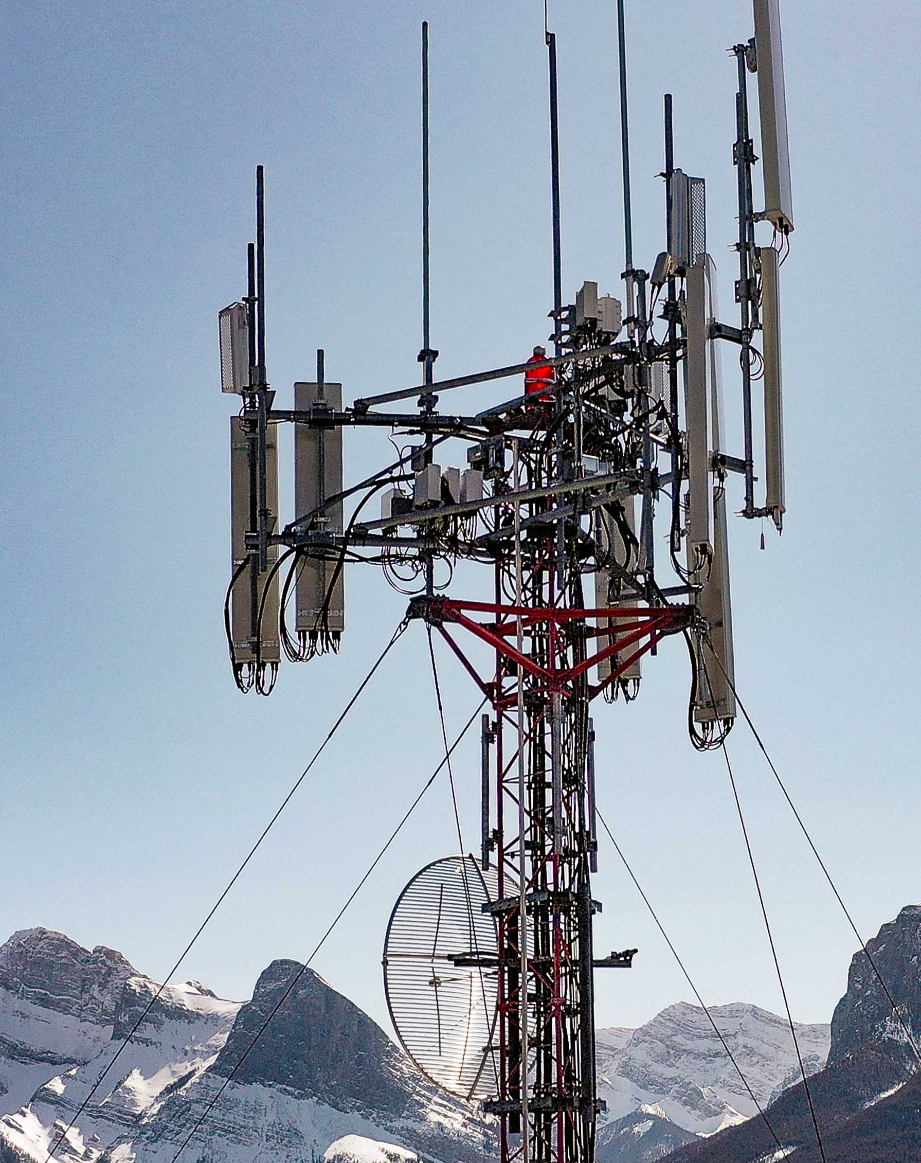
- Cell towers, Telecom towers
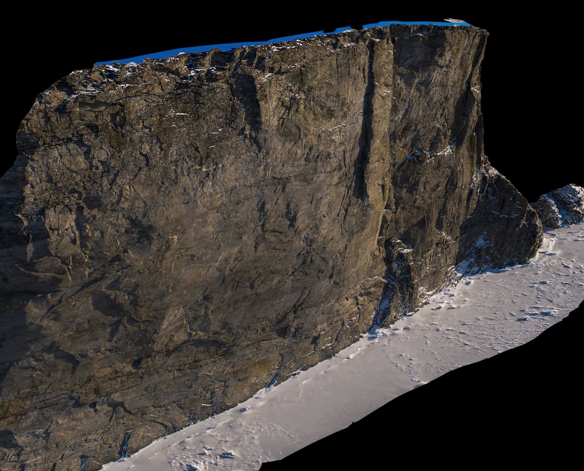
- Cliff faces (geology applications), mountain slopes, glacier features and
other inaccessible or hazardous terrain
Roof Report from drone imagery that automatically produces accurate measurements for all dimensions, angles and slopes
3D rendering of the north east corner of Scott Island, Baffin Island,
Nunavut
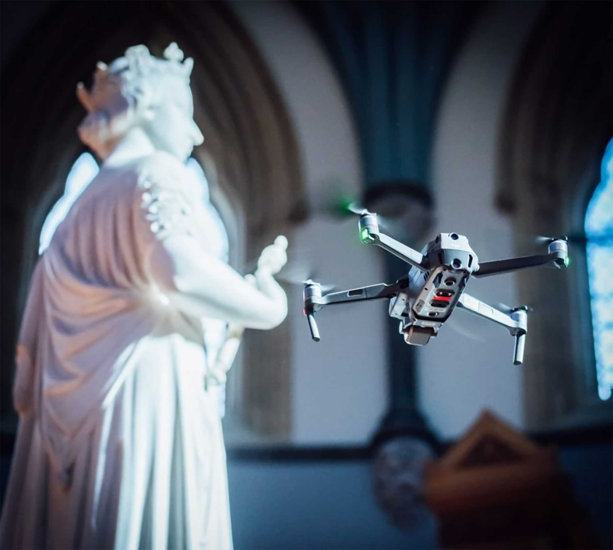
Library of Parliament, Ottawa, Ontario, Canada
